The sport of fell running appeals to me massively. It’s exactly the type of places that I want to be running, it’s so cheap, the community feels great, and there is often tea and cake available at the finish! What is not to love.
The one thing that puts me off entering more fell races though, is the fact that GPS and electronic positioning and navigation devices are not permitted. This is not an argument against this ruling. I understand it, and it’s what differentiates fell running from trail running. But my lack of confidence with a map and compass does hold me back from going all in on fell racing.
I therefore decided to do a course on navigation, and what better organisation to choose than the Fell Running Association themselves. The course was held in the Yorkshire Dales, with the Youth Hostel in Kettlewell selected as the base for the weekend. More on the (fantastic) navigation course in another post, but this gave a great opportunity for me to get some extra mountains ticked off while in the area.
The course began in the evening on the Friday. I decided to take the Friday off work, head up to the Dales early and bag a few local Simms before meeting up with the group for the course. Consulting my map on Hill Bagging UK, I chose three Simms just north of Kettlewell. Birks Fell, Horse Head Moor and High Green Field Knott.
Parking what3words: songbook.sofas.wide
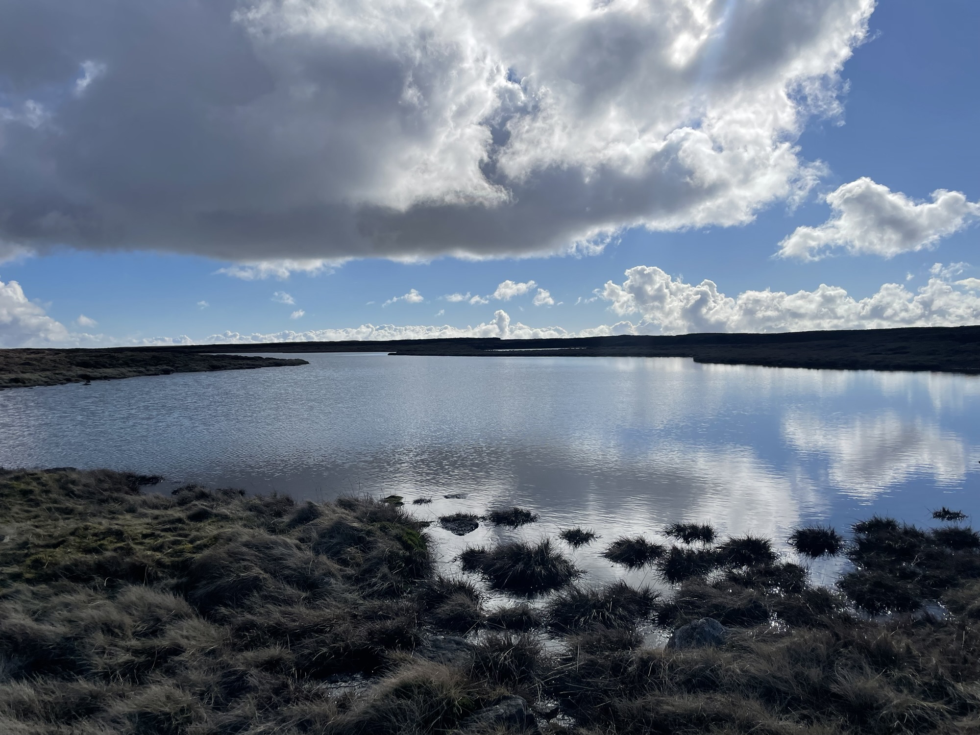
I parked at the National Park car park in Buckden, headed west over the river and began ascending almost straight away, up to Birks Tarn and then onto Birks Fell, reaching the first peak of the day in around 40 minutes and after 3 miles. A fairly tough climb but there was some nice, flat running at the top, and Birks Tarn looked beautifully peaceful.


After Birks Fell, you basically follow the wall, avoiding the bogs, until you reach Horse Head Moor. After some drier weather, this could be a great section to run along. But this was February, and the ground was anything but dry. There were some areas where the morning frost still hadn’t melted, mainly within the shadow of the wall, but everywhere else was soggy at best, deep bogs at worse.
The trig point at Horse Head Moor is at 605 m. The summit (609 m) is somewhere between here and Birks Fell, so if you’ve reached the trig point, the summit is behind you. There was a pile of stones on the other side of the wall, but the Hill Bagging site suggests that there is no feature indicating the summit. So here’s a photo of the trig point instead. Yet another one which looks like it could be from anywhere.

A bit further along and you come to a junction. There is a well defined path which comes through a gate in the wall and heads off down the hill into Yockenthwaite. If you’re up here for a nice walk, take this path back down. I do not recommend continuing unless you need to bag the summit of High Green Field Knott. Need it? Well, you’ll earn it…
On the map, following this path junction, you need to keep the wall on your left hand side and follow it all the way to the summit. From here, there is no defined path, and there is no feature at the summit, so be sure you know where you are going. I should probably say to ensure that you have a map and compass, and you have the grid reference for the summit point. In reality, I had the GPX path on my watch and followed that.
That was until I hit a fence. This area is all open access land so, in theory, I could perhaps have hopped the fence and continued in the straight line to the summit. It was, after all, just a short distance from the fence boundary to where my watch had pinned the summit (via OS Maps). But the fence was there for a reason and I didn’t want to risk damaging it. So I followed it round until I eventually came to a large gate. This allowed me into the fenced area where I could climb the short, steep bank to get to the summit of High Green Field Knott.

The route around the fence, to the gate, was not pleasant. Knee-high grass, unfinished metal fencing wire sticking out and large sink holes. It was tough going. But it had been like this since that path junction. Huge, spiky trees seemingly everywhere along the wall. This was a run but there wasn’t much running along this section. And now I’m at the summit, the only way back down is to head back to that path junction. Not my most fun day out in the mountains. Like I’ve already said, if you’re not peak bagging, I do not recommend proceeding beyond the junction. Or maybe there is a different direction to attack High Green Field Knott from.
Several times on the way back I ended up on the floor, after trying to break into a run. The ground was actually firm, but it was so uneven I was constantly falling. And you couldn’t necessarily see where the dips were with the length of grass. Have I mentioned that I wouldn’t recommend this way?

Anyway, back at the junction, I headed back down towards Yockenthwaite. Although soggy, it was a (welcomed) defined path. I then picked up the path beside the River Wharfe and followed it back into Buckden, relieved to get back to the car and have these three Simms ticked off. Now it was off to the YHA in Kettlewell for some food, a shower and some dry clothes!
Below is the route that I planned out on OS Maps and the one that I intended to take. The diversion around the fence is, of course, not shown here, so please bear that in mind if you do choose to follow a similar path. I would say the route up to Birks Fell is very nice, across to Horse Head Moor is so-so, and I don’t think I need to say anything further about the rest. I’m not particularly enjoying ticking off the peaks in the Yorkshire Dales, but I guess they’ve got to be done.

Leave a Reply